


If you’re looking for an abundance of incredible activities, look no further than the High Star Ranch in Kamas, Utah.
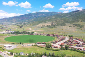
If you’re looking to build your dream home, there’s no better place than the High Star Ranch. Situated only 16 miles outside Park City in Kamas, Utah, the ranch has excellent views, facilities, and activities.

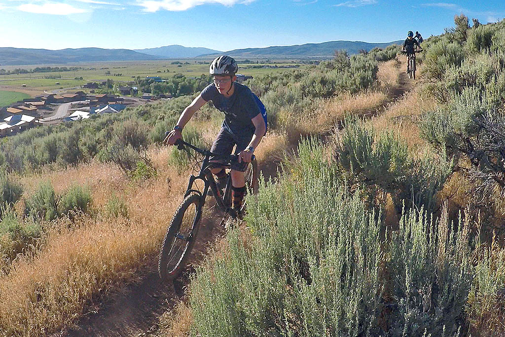
Prepare for exhilaration as you explore the High Star Ranch Trail System, boasting an impressive network of professionally designed mountain biking trails spanning nearly 20 miles.